$333.99
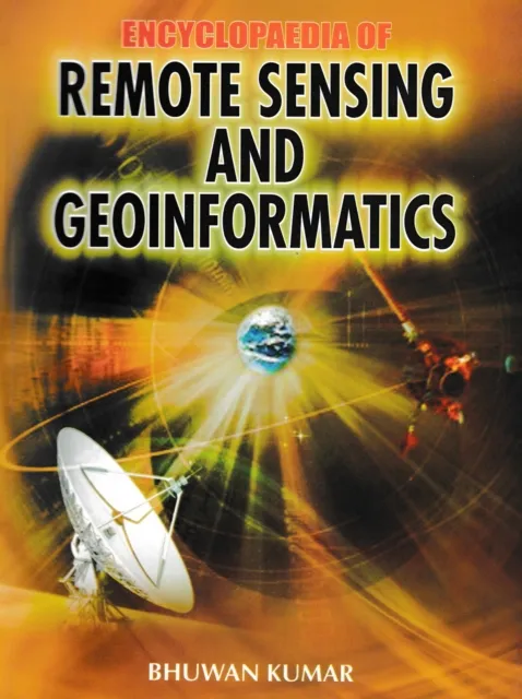
Encyclopaedia of Remote Sensing and Geoinformatics

Overview
The Encyclopaedia of remote Sensing and Geoinformatics manages to address most of the prominent issues related to remote sensing, GIS, GPS, and geoinformatics. It provides readers with a completely new perspective on the subject.
Remote Sensing Science
Remote sensing is the science of acquiring, processing, and interpreting images that record the interaction between electromagnetic energy and matter. The term remote sensing implies the sensing of the earth's surface from space by making use of the properties of electromagnetic waves emitted, reflected, or diffracted by the sensed objects.
Purpose and Applications
It is for the purpose of improving natural resources management, land use, and the protection of the environment. In other words, remote sensing is the science and art of obtaining information about an object, area, or phenomenon through the analysis of data acquired by a device that is not in contact with the object, area, or phenomenon.
Content
This encyclopaedia contains highly useful readings on this topic.