$165.99
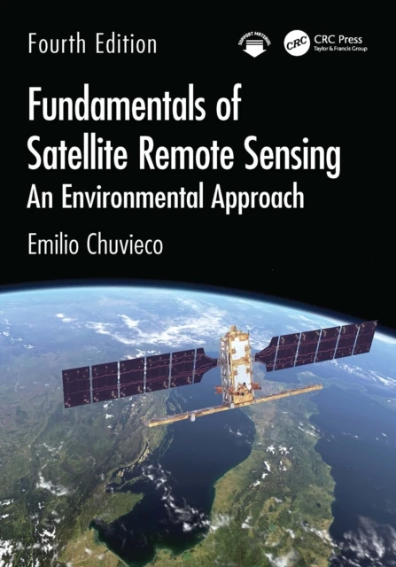
Fundamentals of Satellite Remote Sensing
An Environmental Approach

Overview
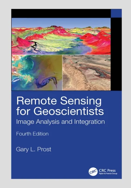
The fourth edition of this core textbook in advanced remote sensing continues to be the best guide on satellite-based remote sensing tools and methods for space-based Earth observation, and the use of remote sensing satellite data for studying and monitoring the planet. It is thoroughly updated with information related to new satellite missions from different agencies with particular attention to the new constellations of high-resolution sensors and new field observations for model calibration and validation, including field sensors and drones. The commercialization of remote sensing data with open cloud services and new classifications by AI algorithms and cloud computing services are also discussed.
New in the Fourth Edition
Thoroughly revised to include updates in all chapters due to the technological advances in space exploration. Covers new constellations of high-resolution sensors such as Planet, Maxar, Geo-Airbus etc. Explains field sensors such as spectro-radiometers, ground lidars and drones. Discusses image services including Earthengine and CreoDIAS, as well as public repositories: Copernicus, Earthexplorer, Glovis. Provides an introduction to AI algorithms. Discusses cloud computing approaches.
Target Audience
This textbook is for upper-level undergraduate and graduate students taking advanced courses in Remote Sensing and GIS in physical geography, geophysics, engineering, soil and plant sciences, urban planning, etc. It is also an excellent text for researchers and scientists interested in learning techniques and technologies for collecting, analyzing, managing, processing, and visualizing geospatial datasets.