$321.99
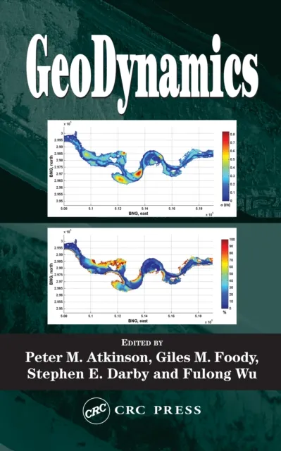
GeoDynamics

Remote Sensing and GIS
While remote sensing gives a surface depiction of the world, its recent convergence with GIS enables richer depictions that can be used to simulate physical processes, identify trends, and make more accurate predictions.
GeoDynamics
GeoDynamics is based on specialized lectures from an international field of experts, addressing remote sensing, spatially.