$166.99
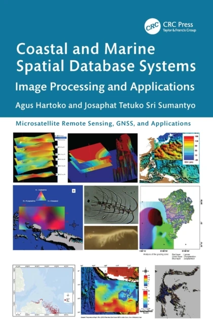
Coastal and Marine Spatial Database Systems
Image Processing and Applications

Features
Provides innovative methods and advanced analytical approaches for processing satellite and radar data tailored to specific applications
Includes case studies of best practices in marine studies and coastal disaster management from Indonesia, Japan, Malaysia, Vietnam, and China
Explains how to build a new thematic spatial database system and how to develop an individual new thematic algorithm
Showcases thematic spatial database systems that serve as the foundation for local and national regulatory frameworks and support international solutions to environmental challenges
Describes limitations and future possibilities for additional studies