$73.99
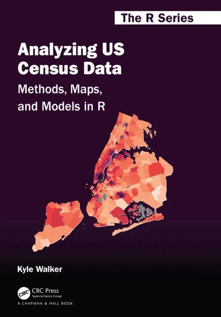
Analyzing US Census Data
Methods, Maps, and Models in R

Chapters in this book cover the following key topics:
• Rapidly acquiring data from the decennial US Census and American Community Survey using R, then analyzing these datasets using tidyverse tools;
• Visualizing US Census data with a wide range of methods including charts in ggplot2 as well as both static and interactive maps;
• Using R as a geographic information system (GIS) to manage, analyze, and model spatial demographic data from the US Census;
• Working with and modeling individual-level microdata from the American Community Survey’s PUMS datasets;
• Applying these tools and workflows to the analysis of historical Census data, other US government datasets, and international Census data from countries like Canada, Brazil, Kenya, and Mexico.