£86.99
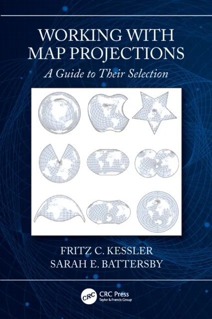
Working with Map Projections
A Guide to their Selection

Working with Map Projections: A Guide to Their Selection
A map projection fundamentally impacts the mapmaking process. Working with Map Projections: A Guide to Their Selection explains why, for any given map, there isn’t a single "best" map projection. Selecting a projection is a matter of understanding the compromises and consequences of showing a 3-D space in two dimensions. The book presents a clear understanding of the processes necessary to make logical decisions on selecting an appropriate map projection for a given data set. The authors discuss the logic needed in the selection process, describe why certain decisions should be made, and explain the consequences of any inappropriate decision made during the selection process.
This book also explains how the map projection will impact the map’s ability to fulfill its purpose, uses real-world data sets as the basis for the selection of an appropriate map projection, and provides illustrations of an appropriately and inappropriately selected map projection for a given data set. The authors take a novel approach to discussing map projections by avoiding an extensive inventory of mathematical formulae and using only the mathematics of map projections that matter for many mapping tasks. They also present information that is directly applicable to the process of selecting map projections and not tied to a specific software package.
Written by two leading experts, this book is an invaluable resource for anyone studying or working with geospatial data, from students to experienced professionals, and will help readers successfully weigh the pros and cons of choosing one projection over another to suit a map’s intended purpose.