£46.99
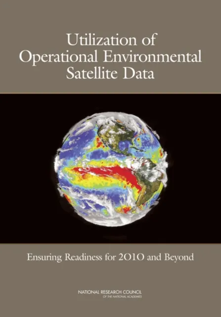
Utilization of Operational Environmental Satellite Data
Ensuring Readiness for 2010 and Beyond

Satellite System for Environmental Data
The system of satellites in place to provide environmental data—data to monitor events such as forest fires and floods; to make weather predictions; and to assess crops, transportation impacts, fisheries, land-use patterns, sea temperature, and soil moisture, among other things—serves a wide and growing array of users. In the coming years as the next generation of operational environmental satellites in put in orbit, there will be a large expansion in data availability. To ensure that these data serve effectively this broad user community, a new vision for the future of operational environmental satellite data utilization is needed.
To help develop approaches for handling this potential data overload, NASA, with technical support from NOAA, asked the NRC to conduct an end-to-end review of issues about the utilization of operational environmental satellite data for 2010 and beyond. This report presents the result of that review. It focuses on ensuring the value of environmental satellite data for addressing specific user needs, distribution of such data, and data access and utilization.