£48.99
Remote Sensing the Mekong

Introduction
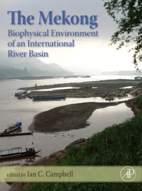
The Mekong Basin in Southeast Asia is one of the largest international river basins in the world. Its abundant natural resources are shared by six riparian countries and provide the basis for the livelihoods of more than 75 million people. However, ongoing socio-economic growth and related anthropogenic interventions impact the region’s ecosystems, and there is an urgent need for the monitoring of the basin's land surface dynamics.
Remote Sensing and Monitoring
Remote sensing has evolved as a key tool for this task, allowing for up-to-date analyses and regular monitoring of environmental dynamics beyond physical or political boundaries and at various temporal and spatial scales. This book serves as a forum for remote-sensing scientists with an interest in the Mekong River Basin to present their recent basin-related works as well as applied case studies of the region.
Sensor Technologies and Topics
A broad range of sensors from high to medium resolution, and from multispectral to SAR systems, are applied, covering topics such as land cover/land use classification and comparison, time series analyses of climate variables, vegetation structure and vegetation productivity, as well as studies on flood mapping or water turbidity monitoring.
Publication Note
This book was originally published as a special issue of the International Journal of Remote Sensing.