£91.99
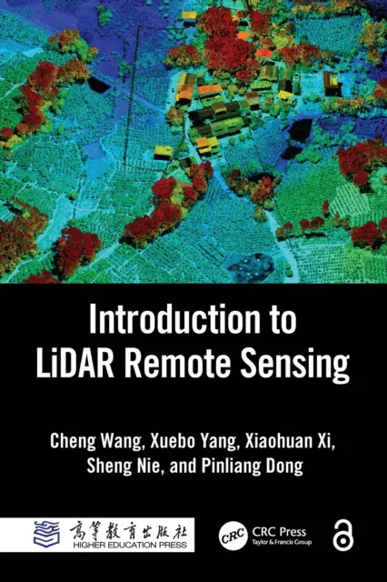
Introduction to LiDAR Remote Sensing

Light detection and ranging, or LiDAR, is an advanced active remote sensing technology developed in the last 30 years to measure variable distances to the Earth. This book explains the fundamental concepts of LiDAR technology and its extended spaceborne, airborne, terrestrial, mobile, and unmanned aerial vehicle (UAV) platforms. It addresses the challenges of massive LiDAR data intelligent processing, LiDAR software engineering, and in-depth applications. The theory and algorithms are integrated with multiple applications in a systematic way and with step-by-step instructions. Written for undergraduate and graduate students and practitioners in the field of LiDAR remote sensing, this book is a much-needed comprehensive resource.
FEATURES
Explains the fundamentals of LiDAR remote sensing, including theory, techniques, methods, and applications
Highlights the dissemination and popularization of LiDAR remote sensing technology in the last decade
Includes new advances in LiDAR data processing and applications
Introduces new technologies such as spaceborne LiDAR and photon-counting LiDAR
Provides multiple LiDAR application cases regarding topography mapping, forest investigation, power line inspection, building modeling, automatic driving, crop monitoring, indoor navigation, cultural heritage conservation, and underwater mapping
This book is written for graduate and upper-level undergraduate students taking courses in remote sensing, geography, photogrammetric engineering, laser techniques, surveying and mapping, geographic information systems (GIS), forestry, and resources and environmental protection. It is also a comprehensive resource for researchers and scientists interested in learning techniques for collecting LiDAR remote sensing data and processing, analyzing, and managing LiDAR data for applications in forestry, surveying and mapping, cultural relic protection, and digital products.
Chapters 1 and 2 of this book are freely available as a downloadable Open Access PDF at http://www.taylorfrancis.com under a Creative Commons Attribution-Non Commercial-No Derivatives (CC-BY-NC-ND) 4.0 license.