£149.50
Agro-geoinformatics
Theory and Practice

Introduction
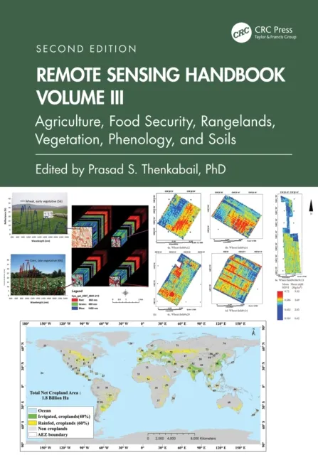
This volume collects and presents the fundamentals, tools, and processes of utilizing geospatial information technologies to process remotely sensed data for use in agricultural monitoring and management. The issues related to handling digital agro-geoinformation, such as collecting (including field visits and remote sensing), processing, storing, archiving, preservation, retrieving, transmitting, accessing, visualization, analyzing, synthesizing, presenting, and disseminating agro-geoinformation have never before been systematically documented in one volume. The book is edited by International Conference on Agro-Geoinformatics organizers Dr. Liping Di (George Mason University), who coined the term “Agro-Geoinformatics” in 2012, and Dr. Berk Üstündağ (Istanbul Technical University) and are uniquely positioned to curate and edit this foundational text.
Content Overview
The book is composed of eighteen chapters that can each stand alone but also build on each other to give the reader a comprehensive understanding of agro-geoinformatics and what the tools and processes that compose the field can accomplish. Topics covered include land parcel identification, image processing in agricultural observation systems, databasing and managing agricultural data, crop status monitoring, moisture and evapotranspiration assessment, flood damage monitoring, agricultural decision support systems and more.